WHAT WILL THE FALLS LOOK LIKE?CheckingTurning the evidence into a visitor decision…RIVER SIGNAL—Context, not waterfall spillPARK ACCESSCheckingCity gate statusWEATHERCheckingCurrent conditions
BEST PRACTICAL VIEWING WINDOWChecking daylight + weather…
Ranking the next useful daylight window without pretending weather predicts waterfall flow.
Checking source freshness…
WHY THIS ANSWER
We do not turn a nearby gauge into waterfall flow.
The commonly used Snake River gauge is downstream of Shoshone Falls. It is useful context, but it does not directly measure water spilling over the falls. Until the Idaho Power Shoshone discharge field is semantically verified, the official live view remains the direct visual check.
The useful question is not just “what is the river doing?” It is how much time this stop takes, where to go first, and whether the falls justify the detour for your kind of trip.
FROM PERRINE BRIDGE~10 minAbout 5 road miles to the falls.FROM I-84~20 min each wayPlanning estimate via Perrine / Blue Lakes.PARKING → OVERLOOK75 ftClosest parking to the main viewing platform.QUICK I-84 DETOUR~60–75 minDrive in, see the main overlook, drive back.
Drive-time planning combines the City of Twin Falls route from US-93 / Blue Lakes with local visitor guidance for the I-84 → Perrine → Shoshone approach. Treat the times as planning estimates, not guaranteed traffic times.
What kind of visit is this?
YOUR SHOSHONE PLAN
Start with the falls. Give it about an hour.
45–60 min
Check the live camera before you leave, then go straight to the main overlook. If the falls are thin, Dierkes Lake is the immediate trip-value backup.
Current conditions are being folded into this plan.
Pick your real time budget. The route changes when the waterfall signal is weak instead of sending everyone through the same generic attraction list.
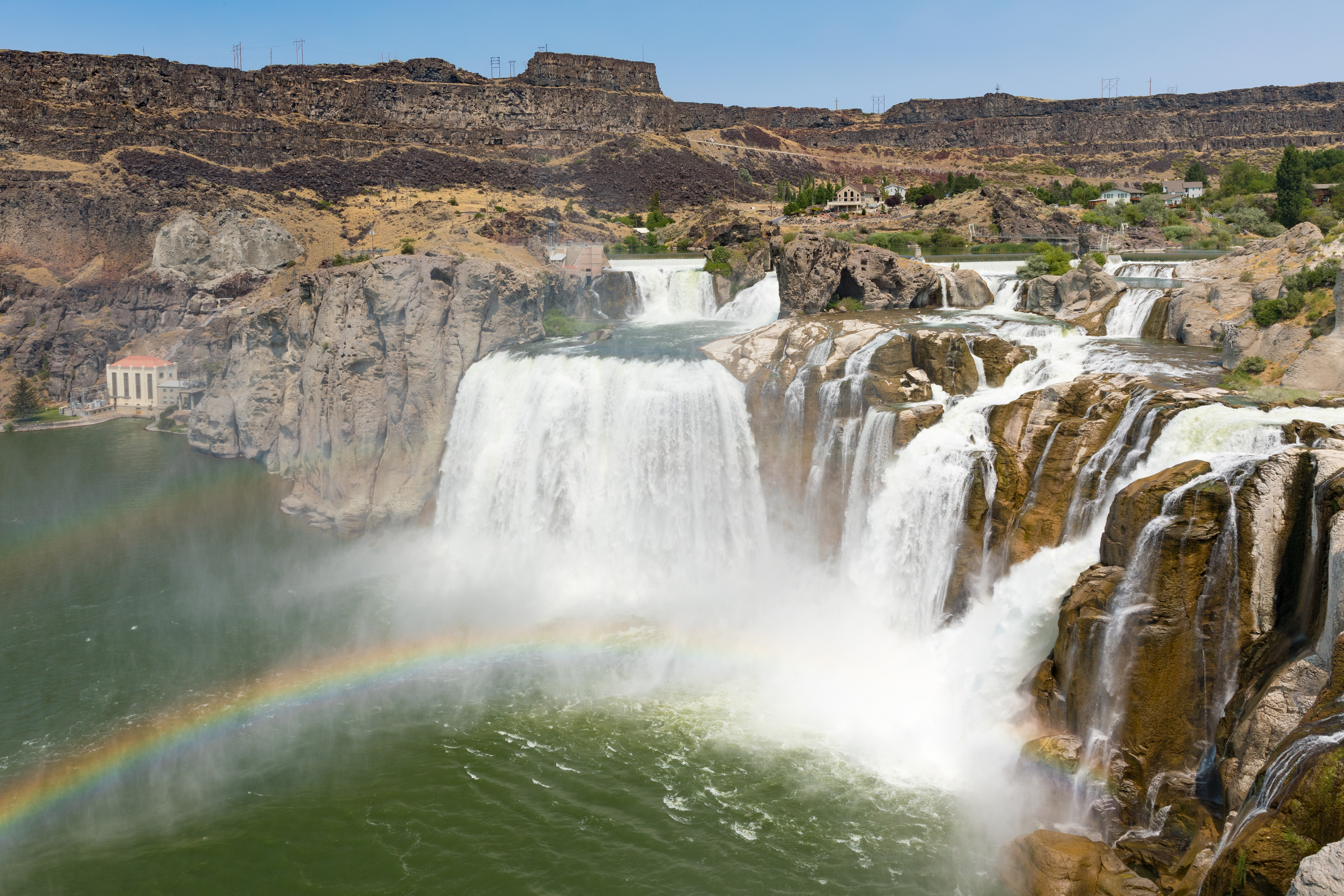
Real Shoshone Falls image · not the live view.
LIGHT + RAINBOW
When will it look best?
BEST LIGHT WINDOWChecking daylight + clouds…Rainbow potential still depends on visible mist.
Clear sun can improve the view and create rainbow opportunities when enough mist is present. Weather can rank the light; the live camera tells you whether the falls are actually throwing mist.
FLOW CONTEXT
What different flows can mean visually.
Reference points from documented Shoshone Falls conditions. They are not today's direct waterfall-flow reading.
The Snake River is heavily managed upstream for irrigation and reservoir operations. Late summer and fall can be minimal, while spring snowmelt and release periods can produce much larger displays.
When is Shoshone Falls usually strongest?
Spring is normally the strongest season. The City of Twin Falls says typical spring peaks can be roughly 10,000–12,000 cfs, with wet years higher.
How much walking is required?
The closest parking is about 75 feet from the main viewing platform, and multiple viewpoints are ADA accessible. You can make this a very low-walking stop, or extend it with canyon-rim viewpoints and Dierkes Lake trails.
How long should I budget from I-84?
Perrine Bridge is about 10 minutes south of I-84, and Shoshone Falls is about another 10 minutes from the bridge. For a quick out-and-back from the interstate, budget roughly 60–75 minutes total: about 20 minutes each way plus 20–35 minutes at the main overlook.
Where should a first-time visitor go first?
Drive directly to the Shoshone Falls main overlook. See the waterfall first. If the flow looks weak or you have extra time, add Dierkes Lake in the same recreation complex; Perrine Bridge is the best logical stop as you return toward Twin Falls and I-84.
Can I camp at Shoshone Falls?
No. Overnight camping is not allowed at Shoshone Falls or Dierkes Lake.
Sources and method
This tool keeps direct visual evidence separate from downstream river context.