Choose breathing room.
Start with the wide lawns of Beattie, Riverbend, or Ryon Memorial parks. You trade a closer coastal setting for easier gathering space, but city park hours and event availability still require checking.
View the park options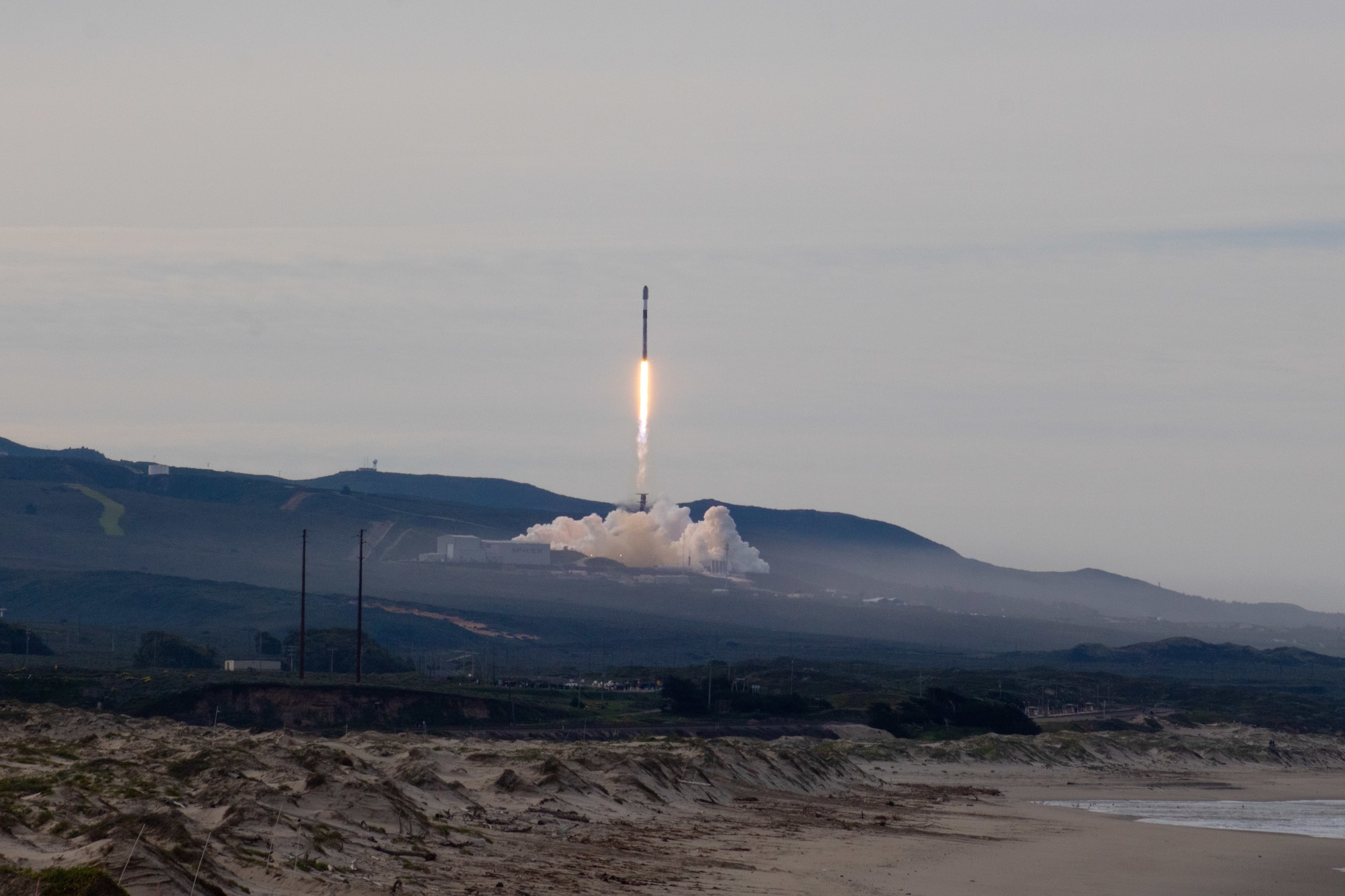
The best viewing spot is not always the closest beach. See six documented public candidates, understand the closures, and choose where to investigate for your actual launch time.
To watch a Vandenberg launch, start with public places around Lompoc: Beattie Park, Riverbend Park, Ryon Memorial Park, Allan Hancock College, Ocean Park, or Surf Beach when entry is permitted. You cannot assume access to the military launch pads. The best candidate changes with the mission, daylight, marine-layer clouds, parking, and last-minute launch delays.
Compare all six locations01 / Decide before you drive
Where the rocket launches, what time it flies, and how the coast is behaving matter more than a generic “best spot” ranking.
Start with the wide lawns of Beattie, Riverbend, or Ryon Memorial parks. You trade a closer coastal setting for easier gathering space, but city park hours and event availability still require checking.
View the park optionsAllan Hancock College has a locally described partial pad view, though parking rules apply. The live planner provides a bearing from each mapped candidate to the selected launch pad, not a promised sightline.
Consider the collegeOcean Park closes at sunset. Surf Beach lists public hours of 8 a.m. to 6 p.m. and can close for launches. Neither is a dependable after-dark backup simply because a rocket is scheduled.
Check coastal restrictionsUse the mission planner to compare the published target with hypothetical delays of 1, 3, or 6 hours. Locations can drop out when daylight or published public hours no longer work.
02 / The documented public places
These are real mapped public-site candidates, not confirmed launch-day openings. Read each constraint before using directions.
Close to the launch experience, but never after sunset.
About four straight-line miles from a typical southern launch complex, Ocean Park delivers coastal sound and a chance to see the rocket after it clears the horizon. It does not provide a direct pad view. Parking is limited and the access road closes when the lot fills.
One of the closest coastal perspectives, only when access is allowed.
Surf Beach offers a coastal launch experience near Vandenberg. Beach activity, wildlife protections, rail safety and launch operations can change access. A generally open beach is not permission to enter military areas or an active launch safety zone.
For visitors who value an open photographic perspective.
Explore Lompoc describes a partial view toward the launch pad, with the rocket visible as it climbs. Campus parking is regulated, especially during class hours, and a published campus location is not a special launch-event access pass.
Make the rocket part of a comfortable outing.
Open lawns, picnic tables and playground facilities make Beattie a practical place to gather while waiting for a launch. Look for open sky rather than a direct view of the pad; hills and trees may hide the earliest moments.
Room to gather while waiting for the countdown.
Riverbend’s fields can be comfortable for groups, but its sports facilities also attract crowds and fill parking. You cannot see the pad directly from the park; the rocket may appear only once it rises over the landscape.
An accessible-feeling downtown base for a longer wait.
Ryon Park trades a close coastal approach for open lawns, picnic space and proximity to downtown Lompoc. Choose a clear patch of sky and allow for the rocket to clear distant terrain before it appears.
Place descriptions reflect Explore Lompoc’s launch-viewing guide and the named land manager. The live tool adds surveyed map feature centers, pad bearings and two nearby NWS forecast reference points. Map centers are not certified entry gates.
03 / Know before you go
Older trip guides still mention the top of Harris Grade Road, Hawk’s Nest, Marshallia Ranch Road and Highway 246. Explore Lompoc currently lists these places as closed to public launch viewing. Do not treat an old map pin, roadside shoulder or social post as authorization to park or enter.
Read the updated local closure list ↗ Source checked Nov. 3, 2026. Closures can change; this is not a continuously monitored road-closure bulletin.04 / Read the coast
Vandenberg’s Pacific marine layer can hide a low-altitude rocket even when inland Lompoc has brighter skies.
The NWS forecast describes total sky cover at a grid location. It does not establish how high the coastal clouds are or whether you will see the rocket’s initial climb.
A launch after sunset may show a bright plume high in the sky. It does not keep Ocean Park or Surf Beach open later, and a scheduled time can move by hours.
Our planner uses the selected mission’s recorded pad coordinate when verifiable. Its compass bearing points toward the pad, not along a verified rocket trajectory or clear terrain viewshed.
Compare Lompoc and Surf Beach vicinity NWS references for the published mission time, and test what happens when a launch slips.
05 / A launch-day field routine
Launches can scrub late. Avoid an unnecessary drive by separating the launch schedule, access conditions, and spectator weather.
Use the live mission board to check time precision, source freshness and launch status. A date-only listing is not a confirmed liftoff hour.
Read Vandenberg’s beach rules for Surf Beach, campus parking rules for Allan Hancock, and local park information for city locations. Do not bypass a posted closure.
Look at both forecast reference points. Recheck the operator before departure and before committing to a parking area. If a launch slips into the evening, coastal candidates may no longer be usable.
06 / What visitors ask
Practical answers, without pretending that tomorrow’s launch or public access is guaranteed.
Publicly listed candidates around Lompoc include Ocean Park, Surf Beach when permitted, Allan Hancock College, Beattie Park, Riverbend Park and Ryon Memorial Park. Viewing quality varies by launch pad, weather, terrain, and launch-day access rules.
The launch complex is an active military installation, not a general public launch-viewing entrance. Use a documented public location outside restricted areas and check the base's official notices.
The Vandenberg Space Force Base environmental page lists Surf Beach public hours as 8 a.m. to 6 p.m. daily. A night launch does not extend those hours. The beach can also close for operations or conservation restrictions.
No. Explore Lompoc says Ocean Park closes at sunset. Its lot is small and the road may close when parking fills, so it is a poor choice for late-evening missions or delays pushing liftoff near dusk.
Not currently. Explore Lompoc lists the top of Harris Grade Road, Hawk's Nest, Marshallia Ranch Road and Highway 246 as closed to public launch viewing. Do not use outdated viewing guides as proof of access.
A nearby ground-level cloud-cover forecast does not measure marine-layer height, the rocket's actual flight path, or hills blocking the view. The live planner labels the locations of its NWS forecast samples and withholds claims it cannot establish.
Open Rocket Launch Live USA with California selected. It displays the selected mission, the precision and age of its schedule source, NWS reference forecasts when the launch target is sufficiently precise, and hypothetical delay comparisons. Always recheck the launch operator and range before travel.
ONE LAST CHECK
Six public locations, a real mission record, documented access limits, nearby NWS reference forecasts, and hypothetical delay scenarios. The viewing map updates with the selected Vandenberg mission.
Researched November 3, 2026. This is a visitor field guide, not an official notice, live beach-opening report or guaranteed view. Vandenberg Space Force Base and the land managers control closures and access; launch operators control missions. The photo depicts a past launch, not an upcoming flight. No U.S. Space Force endorsement is implied.