A living natural calendar · Fall & winter

Follow the freeze.
Find the next open water.

Where could ducks and geese move as northern wetlands cool? Compare changing weather across 16 Great Lakes and Mississippi Flyway regions, then examine actual, dated waterfowl observations.

Explore the freeze-pressure map

A weather-based scouting and birdwatching companion — not a bird-count survey, hunting-access map or verified marsh-ice report.

Authentic U.S. Fish and Wildlife Service photograph of a mallard drake flying
Mallard in flight · U.S. Fish & Wildlife Service / Erwin and Peggy Bauer · Public-domain photograph. Not a current sighting.
Current condition outlook

Checking live National Weather Service hourly forecasts at 16 regional reference points…

01 / The regional picture

Where is freezing pressure building?

Map markers and the regional board respond together. Forecast hours at or below 32°F indicate cold exposure, not confirmed wetland freezing.

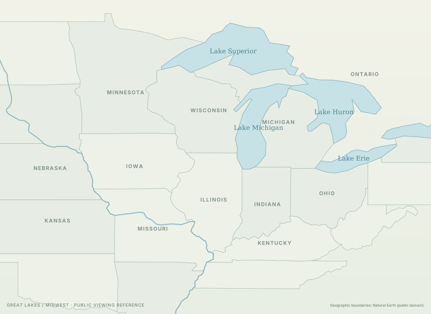
Geographic orientation map of the Midwest and Great Lakes, with state lines and the Mississippi River

Map coloring switches among NWS freezing pressure, NOAA 1-km surface classes and a conditional marsh-to-big-water habitat outlook. No layer locates individual birds, proves marsh ice everywhere or shows a literal migrating flock.

Regional conditions

16 regions

02 / A closer look

Saginaw Bay & Shiawassee Flats

Shallow bays, coastal marshes and refuge wetlands.

Loading forecast
Freezing hours · next 24h—NWS forecast air, not water
Freezing hours · next 72h—At or below 32°F
Lowest forecast air temperature—Next 72h
Incoming cooling signal—First hours vs. next 36h
Forecast cold-degree hours—Accumulated 32°F deficit, next 72h
Northerly wind window—N, NE or NW at least 10 mph

Weather / NOAA NWS

Cold exposure ahead

Forecast pending

The dashed line is 32°F. More subfreezing forecast hours can increase freeze pressure on shallow wetlands. Water depth, currents, wind and local conditions change the outcome. There is no calibrated prediction of marsh ice here.

Observations / iNaturalist

Recently reported ducks & geese

Last 14 days

Choose a region to retrieve recent public observations.

One observation is one submitted record, not one bird. Sightings are incomplete, may be reported late and reflect observer effort. Coordinates are intentionally not republished.

Explore Michigan Birding Report's eBird observations ↗

03 / Habitat shift • conditions, not tracked birds

When the marsh freezes, watch the big water

Awaiting regional evidence

Select a region to compare shallow-marsh freeze pressure with charted big-water ice.

Shallow-wetland freeze pressure—
Big-water mapped ice / open-water signal—
Available managed-wetland surveys—

This is a habitat interpretation, not a detection of bird movement. Some divers use deeper lake water while dabblers may move to other shallow water, feeding fields or farther down the flyway.

03 / NOAA USNIC · 1-km analysis cell

Mapped snow / ice surface

Checking NOAA analysis…

Valid date being checked

The NOAA daily 1-km analysis maps snow-covered land, snow-free land, ice-covered surface and water classes at a reference point. It does not describe an entire refuge or confirm local wetland ice.

NOAA Interactive Multisensor Snow & Ice product ↗

04 / NOAA USNIC · Great Lakes only

Official Great Lakes ice chart

Checking official analysis…

Date and location being checked

Ice-chart concentration is reported for a chart polygon near certain Great Lakes reference waters. It is not a measurement of adjacent marsh ice, a safe-ice assessment or a forecast of waterfowl presence.

U.S. National Ice Center Great Lakes charts ↗

05 / NOAA NOHRSC · Snow depth

Measured and modeled snowpack inputs

Checking NOAA snow-depth map…

Point analysis pending

NOHRSC assimilates ground, airborne and satellite observations into a 1-km snow model. The display shows an approximate inch-based depth or legend band at a reference pixel, not field-measured depth at an entire refuge.

NOAA snow-depth map ↗

06 / Michigan DNR Wetland Wonders

Actual weekly duck & goose survey totals

Loading dated official counts where a managed waterfowl survey is mapped to this region.

These are official counts at managed areas, not estimates of all birds on a lake. A declining marsh count cannot prove the birds moved to nearby open water.

Michigan DNR Wetland Wonders ↗

07 / Official field evidence · Not modeled migration

Follow the waterfowl counts, week by week

Compare survey dates and diving ducks, dabbling ducks, total ducks or geese at one managed area. Missing weeks are gaps, not zeros.

Select a region with Michigan DNR Wetland Wonders surveys to display a dated trend.

08 / Snow depth and habitat reality check

Snow coverage, snow depth and wetland ice are not interchangeable.

The tracker now samples official NOAA snow/ice coverage classes at one 1-km reference cell per region, plus Great Lakes ice-chart data where geographically relevant. NOAA NOHRSC snow-depth model values and mapped ranges appear above, alongside official dated marsh counts. Snow depth is intentionally kept separate from the preliminary cold-exposure rating. Local wetlands and agricultural fields may differ substantially from these mapped reference cells.

09 / Read the movement

How to use the freeze line without being fooled by it

01

Watch northern pressure

A run of subfreezing hours points to possible habitat changes, especially in shallow sheltered waters. It cannot establish ice cover by itself.

02

Look for available habitat

Ducks and geese may move south, east or west to find feeding habitat and open water. Rivers, deeper lakes and managed wetland units respond differently.

03

Check actual evidence

Review the dates and species of reports before visiting. A report does not verify a flock remains there or that the area is open to visitors or hunters.

Methods & sources

National Weather Service API · NOAA National Snow Analyses · Michigan DNR weekly managed-waterfowl counts · NOAA USNIC 1-km snow/ice · NOAA dated Great Lakes ice charts · iNaturalist public observations · Ducks Unlimited on hunting the freeze line. The simple freeze-pressure categories are exploratory heuristics, not a validated migration model. This page does not redistribute Ducks Unlimited reports.