Bay City State Park
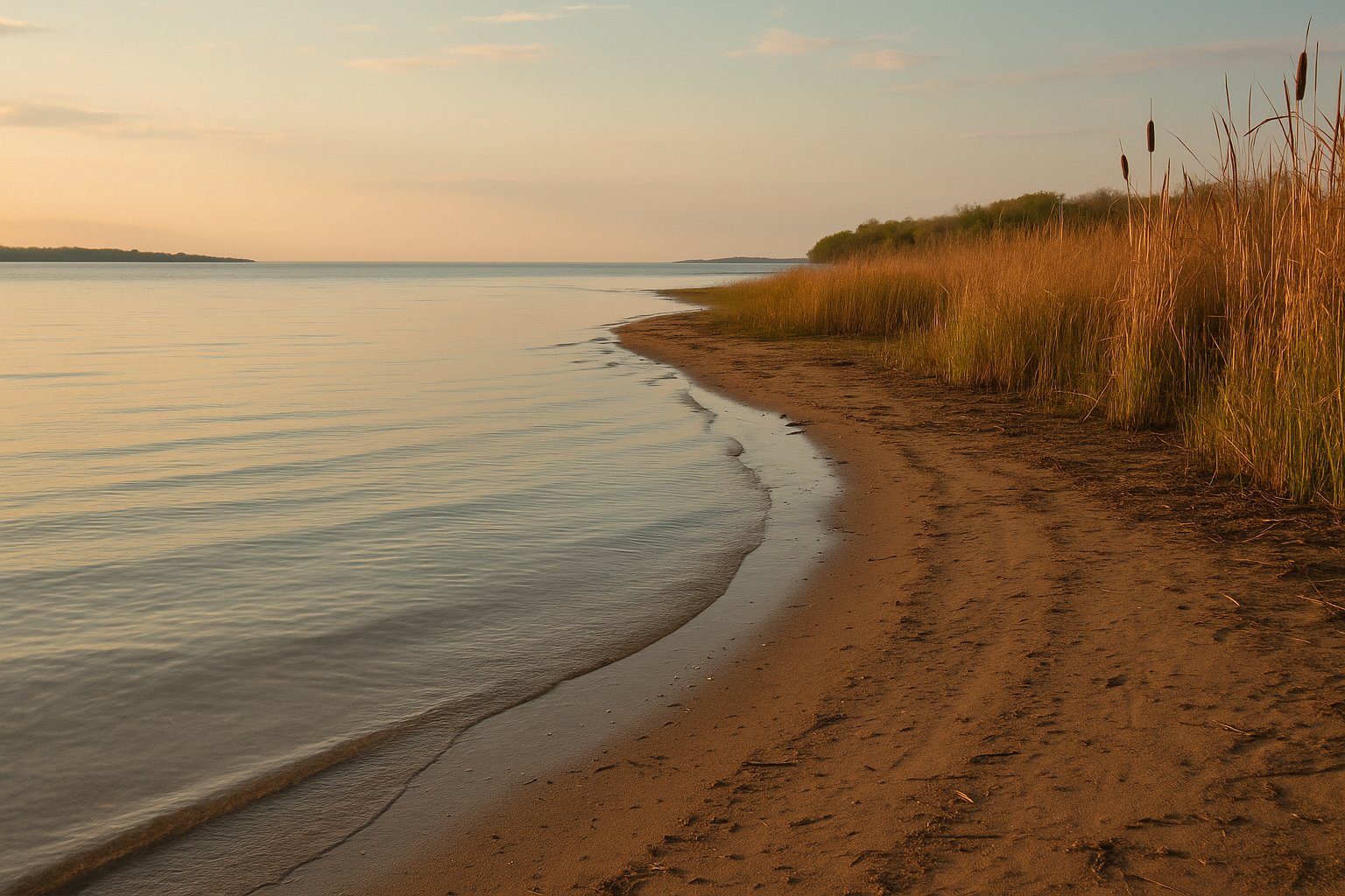
Tobico Beach on Saginaw Bay. The bay is shallow and warms early in the season. Strong birding adjacency at the neighboring Tobico Marsh.
The Lake Huron beaches of Saginaw Bay, where the water warms early and the crowds stay manageable.
Saginaw Bay is a roughly 1,143-square-mile arm of Lake Huron that defines the Thumb of Michigan. It is the largest bay in the Great Lakes system and behaves differently from open Great Lakes water. The bay is shallow (most of it less than 50 feet deep), warms early, and has a soft sand and mud bottom rather than the steep dune beaches that define Lake Michigan.
These beaches are an underrated set. Most national "best Great Lakes beaches" lists barely mention them. The crowds reflect that: even at peak summer, Saginaw Bay beaches see a fraction of the traffic Holland or Grand Haven see. For families with small children, for boaters who want to swim near the launch, or for anyone who prefers warm water over the photogenic-but-cold Lake Michigan dune beaches, this is the right stretch.
Most of the beaches below sit within a 45-minute drive of Bay City. They are best understood by lifelong residents of the area, not by guidebook writers passing through. The notes below try to capture the local knowledge: what the water looks like in June versus August, what happens with a strong north wind, where the walleye boats stage from each launch (for the corresponding launch page).
Five named beaches on Saginaw Bay. The list is small on purpose: this isn't a tourist-list region and most of the genuine local beaches are county parks or township access points without formal designation. The notes below favor what a Bay City local would actually tell you.
Tobico Beach on Saginaw Bay. The bay is shallow and warms early in the season. Strong birding adjacency at the neighboring Tobico Marsh.
Inner Saginaw Bay beach, fine sand, shallow water for a long way out. Walleye fishery just offshore. Cheeseburger Festival every August.
Caseville-area state park. The beach is on the open bay rather than the inner shallow bay, so it sees more wave action. Mature pines back the dunes. Quieter than Caseville County Park.
A long sand spit projecting into Saginaw Bay between Caseville and Sebewaing. Township beach near the tip. Calm shallow water on the south side, more open water on the north.
Downtown Bay City riverfront park on the Saginaw River. Not a swim beach, but a Great Lakes shoreline space that draws summer concerts and tall-ship festivals. Boardwalk to the Saginaw River channel.
Two reasons. The bay is shallow: most of it is under 50 feet deep, and the inner bay sections near Bay City and Linwood are often less than 20 feet. Shallow water responds quickly to solar heating. Second, the bay is partially isolated from open Lake Huron by Point Lookout and the long sand spits to the north and south, which limits cold-water mixing. By mid-June the inner bay is regularly in the mid-to-upper 60s.
Yes, with the same considerations as any Great Lakes water. Wave height and rip-current risk are lower than open Lake Huron because of the protective Thumb geography, but the bay can build significant chop on a strong north or east wind. Algal blooms have been a periodic issue in the inner bay during late summer; the state monitors and posts advisories. Check current conditions before any planned swim.
Caseville is the most beach-town of the Saginaw Bay communities, with a county park beach, restaurants in walking distance, and the annual Cheeseburger Festival in August that brings serious traffic. Bay City has Wenonah Park downtown (river, not beach) and the Bay City State Park beach (Tobico) ten minutes north. Sebewaing, Bay Port, and Port Austin are quieter.
Saginaw Bay holds one of the strongest walleye fisheries in North America. The bay supports a self-sustaining naturalized walleye population that recovered dramatically after the 2003-2006 stocking and water-quality improvements. Spring and fall tournaments draw boats from across the Midwest. The fishery is concentrated offshore from Linwood, Caseville, Sand Point, and Bay Port; the boat launches that serve those fishing grounds are covered on the Saginaw Bay launches page.
The west side of the bay (Bay City, Linwood, Pinconning) gets sunsets over the bay because the open water is to the west. The east side of the bay (Caseville, Bay Port, Sebewaing) gets sunrises over the bay and sunsets over land. Tawas Point on the north shore gets sunsets across Tawas Bay and into the open lake.