Five-lake map / AIS
Great Lakes Ship Tracker
Search visually for a vessel and jump straight to six major corridors. Includes reported vessel positions and nearby NOAA context when available.
Track freightersThe Great Lakes shipping desk
Track a ship. Find a place to watch. Follow the ports, working fleet, and stories of the inland seas.
The live AIS map is below. Public positions can be delayed or incomplete.
Live vessel tracking · five Great Lakes
Explore AIS-reported ship positions across all five lakes, or zoom to a shipping corridor. Select a vessel to read its name, speed, course (when reported), and the age of its last position.
Current map: All Great Lakes
The lake-wide view covers all five Great Lakes. Select a corridor for a closer look.
For named vessel passages, use the provider's current passage list.
Open BoatNerd lake-wide map ↗Only AIS reports less than 30 minutes old appear. Blue indicates movement; amber, little or no movement; gray, unavailable speed. A missing report does not prove a lake is empty.
Sources will be listed when AIS reports load.
For shore watching only. Public AIS may be stale, partial or unavailable and must not be used for navigation. Positions come from the existing Great Lakes Ship Tracker data service; NOAA observations are nearby context, not conditions on a ship. AIS source information.
Start with your question
Freighter Central is the directory and shore-watching guide for the Great Lakes shipping tools on this site. If you're trying to locate a particular vessel, use the AIS tracker. If you're planning to see one in person, choose a corridor below, then verify a fresh vessel report before you leave. For today's reported movements and port news, use the Great Lakes Gazette.
Freighter watch finder
Choose a waterway and what you want to accomplish. This guide routes you to the right existing tool; it does not estimate unverified arrival times.
Your next step
Use the map for positions, then check the Soo Locks passage information for named ships.
Check report timestamps; a map marker is not a guaranteed viewing time.
The active tools
Each specialist page owns its own live signal and freshness rules. This hub intentionally does not duplicate vessel feeds.
Five-lake map / AIS
Search visually for a vessel and jump straight to six major corridors. Includes reported vessel positions and nearby NOAA context when available.
Track freightersSt. Marys River
Check commercial vessel activity, a live map, named passage sources, webcams and visitor information.
Check the locks →Lake Superior · Minnesota
Plan a watch with AIS-supported passage windows, camera views and lift-bridge context.
See Duluth ship watches →Detroit River
A focused fresh-moving-vessel signal for riverfront visitors, with explicit unknown and no-watch states.
Check Detroit now →Six ship-watching waterways
Some routes see frequent traffic; others require patience. Open the corridor-specific AIS view to check the current reported position.
Nearly every large vessel traveling between Lake Superior and the lower lakes passes through the St. Marys River system.
Watch: Sault Ste. Marie observation deck
Incoming and outgoing vessels use the harbor approaches, with close viewing from Canal Park.
Watch: Duluth Ship Canal
The upper St. Clair River narrows ship traffic near the Blue Water Bridge, creating accessible shore views.
Watch: Vantage Point waterfront
A busy international shipping artery with a short-window decision tool for vessels moving near the riverfront.
Watch: Belle Isle or the Riverwalk
Watch freighters bound for Bay City and Saginaw. Traffic is episodic, so check the bay and Saginaw River reports first.
Watch: Bay City riverfront
The connection between Lake Michigan and Lake Huron brings large commercial vessels within view of both peninsulas.
Watch: Mackinaw City or St. Ignace
Know what you're watching
Recognize the ship before it reaches the harbor, even if you don't know the vessel's name.
Great Lakes-built bulk carriers haul ore, stone, coal, grain and other commodities. Many have the long discharge booms of self-unloaders.
Ocean-going ships that transit the St. Lawrence Seaway to inland ports. A 1,000-foot laker is too long for the Seaway locks.
Workboats and barges move fuel, stone and specialized loads through rivers and harbor approaches. They're part of the commercial fleet too.
Upbound generally means toward Lake Superior; downbound generally means toward the lower lakes. A ship's AIS destination may be abbreviated, stale or entered incorrectly. Public AIS reception has gaps, and a reported position is not permission to navigate by it.
How to read the AIS map →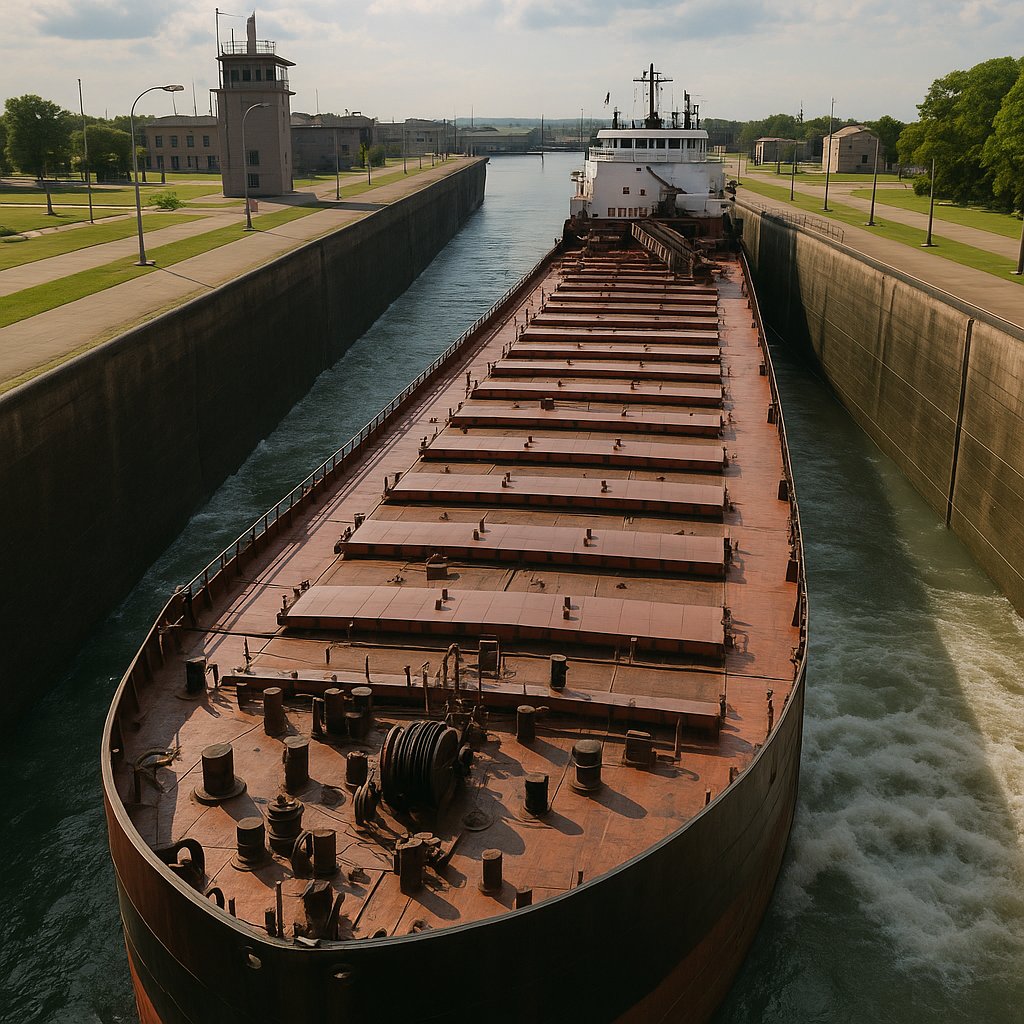
Watch the waterways
For the best chance of seeing a ship, start with a recent AIS report, choose a public viewing point, then use local schedule or passage information where available. Avoid treating historical reports as guarantees.
Find places to watch →The rest of the story
Today's movements are only one part of a shipping system with centuries of working history.
Published shipping brief
Daily editions covering vessel movement reports, port activity, marine weather and lake conditions. Open the publisher for the latest available edition.
Read the Gazette →History
Explore the canals, fleet, ports and industrial trade that shaped the inland seas.
Explore history →Searchable records
Explore documented wrecks and the navigational hazards, storms and losses behind them.
Explore wrecks →Historic vessel
Follow the vessel's final voyage, the crew, the 1975 storm and the lasting Whitefish Point memorial.
Read the story →Shoreline landmarks
Meet the lights that guided vessels into harbor and through hazardous passages.
Explore lighthouses →Water and weather context
Check NOAA wind, waves and water temperature around the lakes. These are nearby station reports, not conditions aboard any vessel.
Check lake conditions →Quick answers
Start with the live ship tracker. It has dedicated map views for the Soo Locks, Duluth, Port Huron, Detroit River, Saginaw Bay and Straits of Mackinac. Check a ship's most recent AIS timestamp; missing or stale reports do not prove no ships are present.
Use a fresh AIS position together with a verified passage list or the specialist Soo Locks and Duluth tools. Position, course and estimated arrival can change. This hub does not generate arrival forecasts or assert that a particular ship will pass at a particular time.
A laker is built mainly for Great Lakes service and can be too large for the St. Lawrence Seaway. A saltie is an ocean-going vessel sized to use the seaway locks, connecting inland ports to world trade.
No. Public AIS feeds are for shoreside observation and can be delayed or incomplete. Use official navigational equipment and information at sea.